URBAN REGIONAL ATLAS
Geography. Made tangible.
Choose a place in Urban Regional Atlas. URP Studio turns traceable geographic data into a configurable 3D object.
Type three letters. Mountains, canyons and coasts are ranked first.
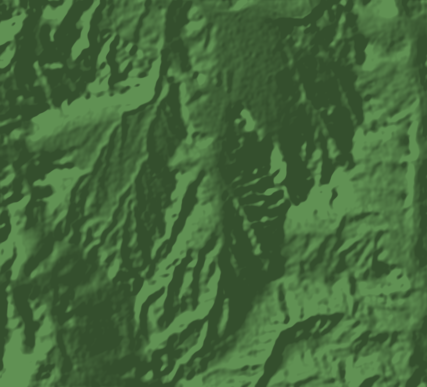 RENDER - NOT A PRINTED UNIT
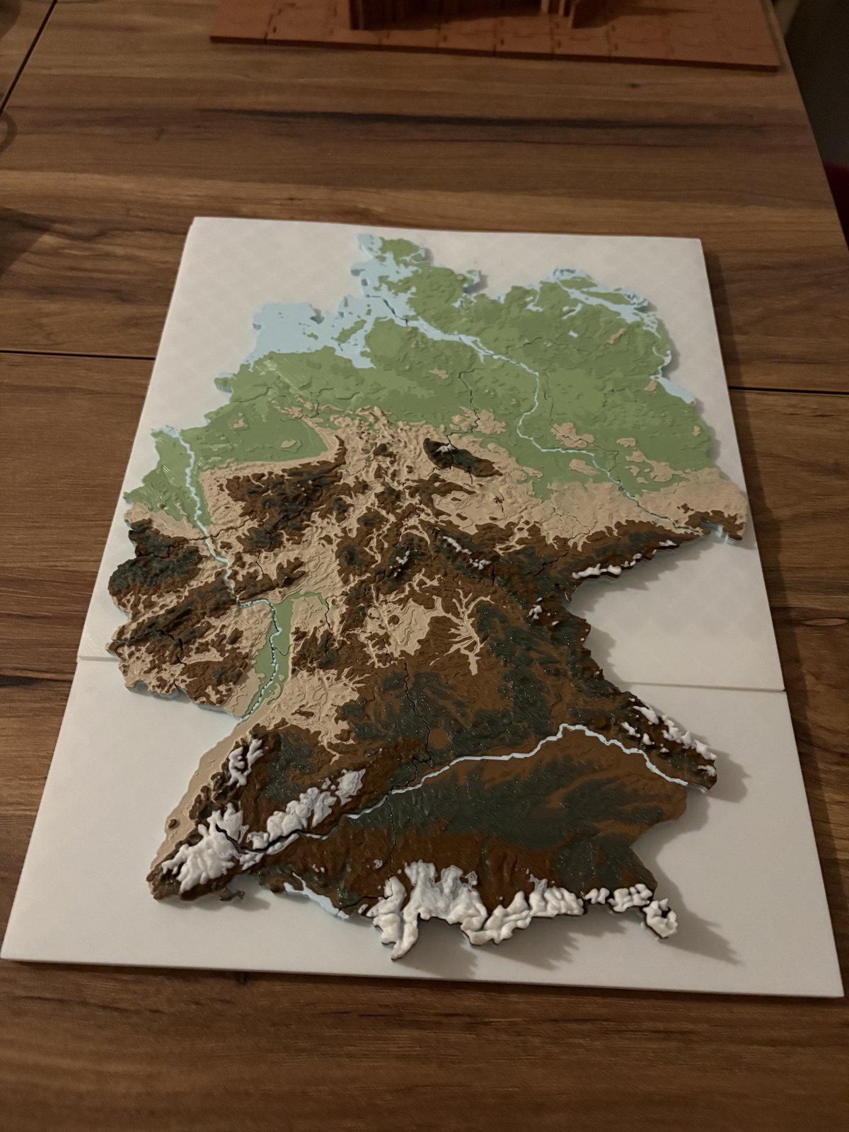 PHYSICAL PROTOTYPE PHOTO
- SOURCEReal elevation data with OpenStreetMap buildings, roads and water.
- ENGINEThe preview comes from the same engine that writes the print package.
- EVIDENCEDigital checks and physical printing stay separate gates.
PRODUCT FAMILIES
Three scales. One Studio.
Each family belongs to Urban Regional Atlas and uses the same production system. Every card separates digital evidence from physical proof.
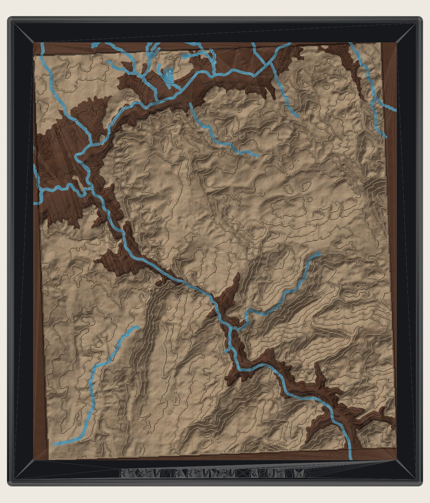 001REGIONAL / FORMDIGITAL QA PASSTerrain, mountains, canyons, coasts and GPX routes, authored from a customer-selected regional frame.Engine render. Digital QA evidence exists. Physical print pending.Open in Studio
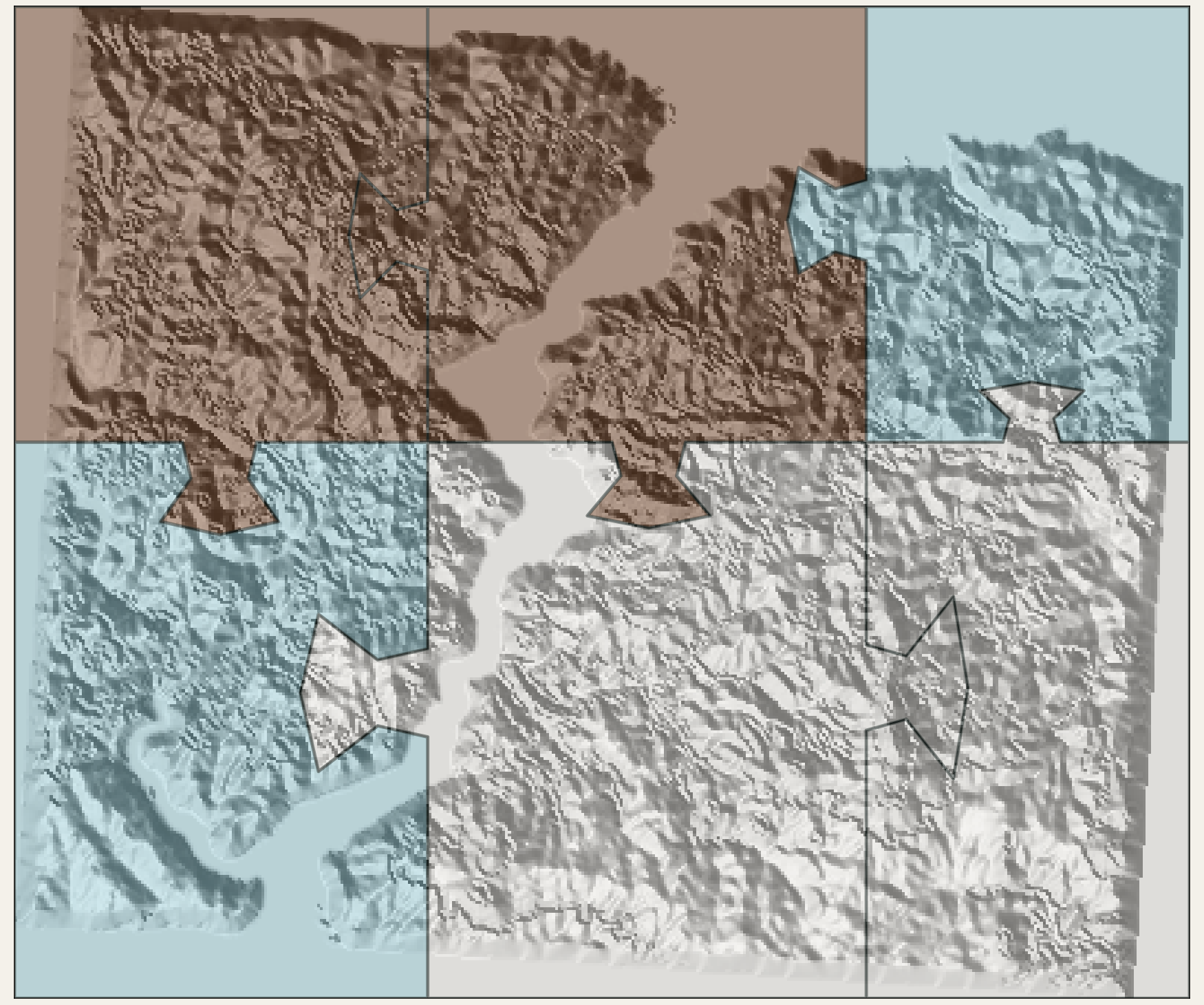 002URBAN / FORMDIGITALLY VERIFIEDPHYSICAL TEST PENDINGNeighbourhood terrain, roads, buildings, water and landmarks. Most building heights are inferred; no city piece has been physically printed.Concept render. Building heights may be inferred. Physical print not verified.Open in Studio
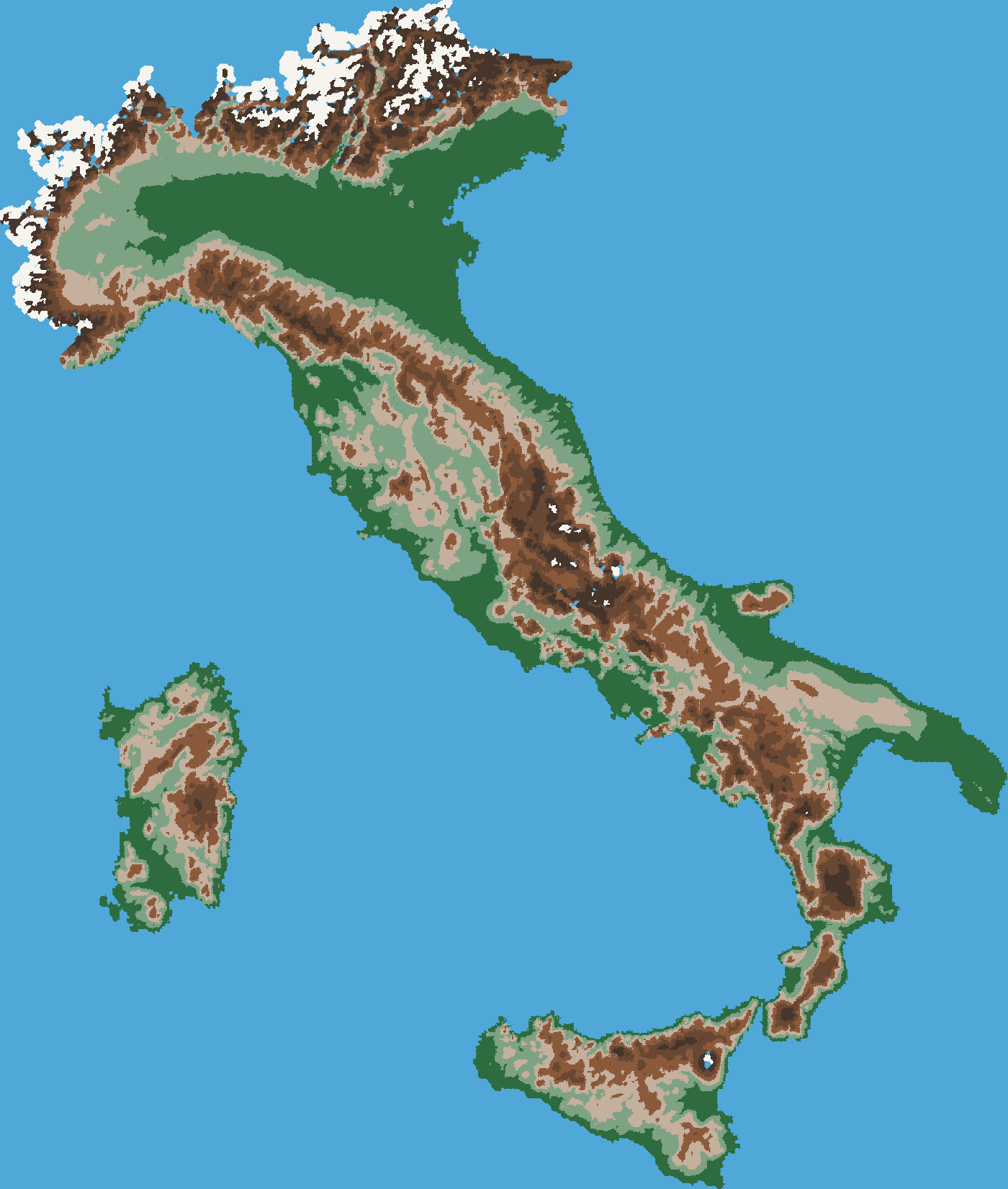 003ATLAS / FORMATLAS ALPHAPHYSICAL TEST PENDINGCountries and selected admin regions at a coherent scale. Current preview evidence is digital; final geometry and physical fit remain pending.Legacy preview image. The current preview is digital only. Physical fit not verified.Open in Studio
Every family uses the same versioned design identity, source trail and file workflow. Modular systems are production modes, not separate brands.
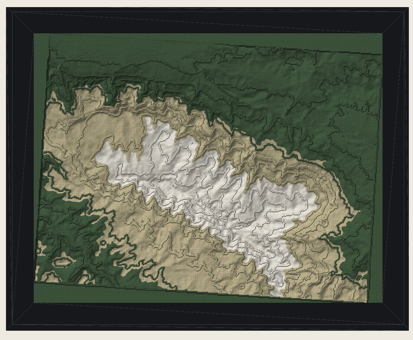
REGIONAL / FORM
Framed Relief
A regional elevation model composed as colour layers with an integrated frame. The shown unit is a render, not a physical print.
- Size
- 131-197 mm
- Colours
- 4
- Weight
- 67-250 g
- Assembly
- None
PROCESS
From place to verified files.
- 01Select
Choose an area on the map or upload a GPX route.
- 02Personalise
Set size, outer form, palette and production mode.
- 03Real preview
Inspect a browser-lightened model built from the chosen place and design.
- 04Review
Confirm the place and choices. Confirmation opens a production job.
- 05Export
Named production files are released after digital gates pass. Physical validation stays separate.
Geometry resolves elevation under a versioned source policy for each place; buildings, roads and water come from OpenStreetMap. Every production package records the provider, source identity and quality evidence it actually used.
PHYSICAL EVIDENCE
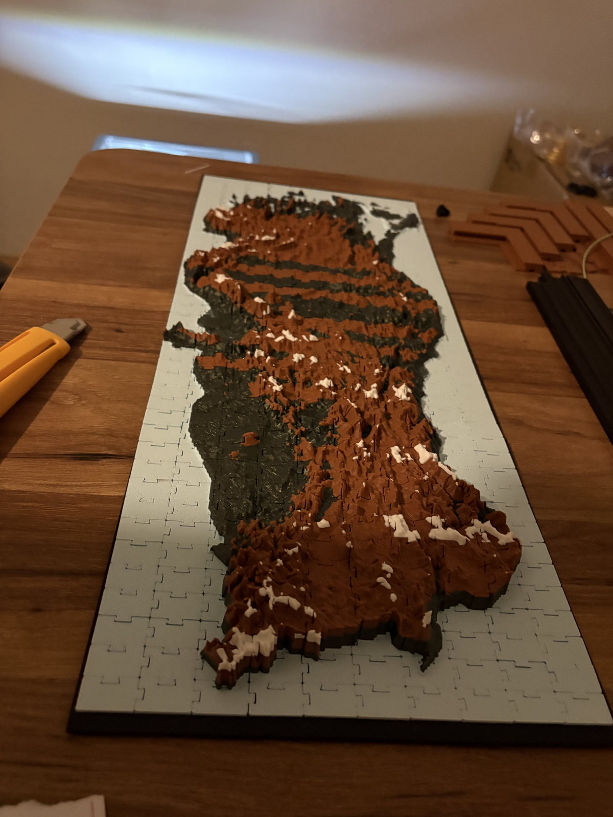
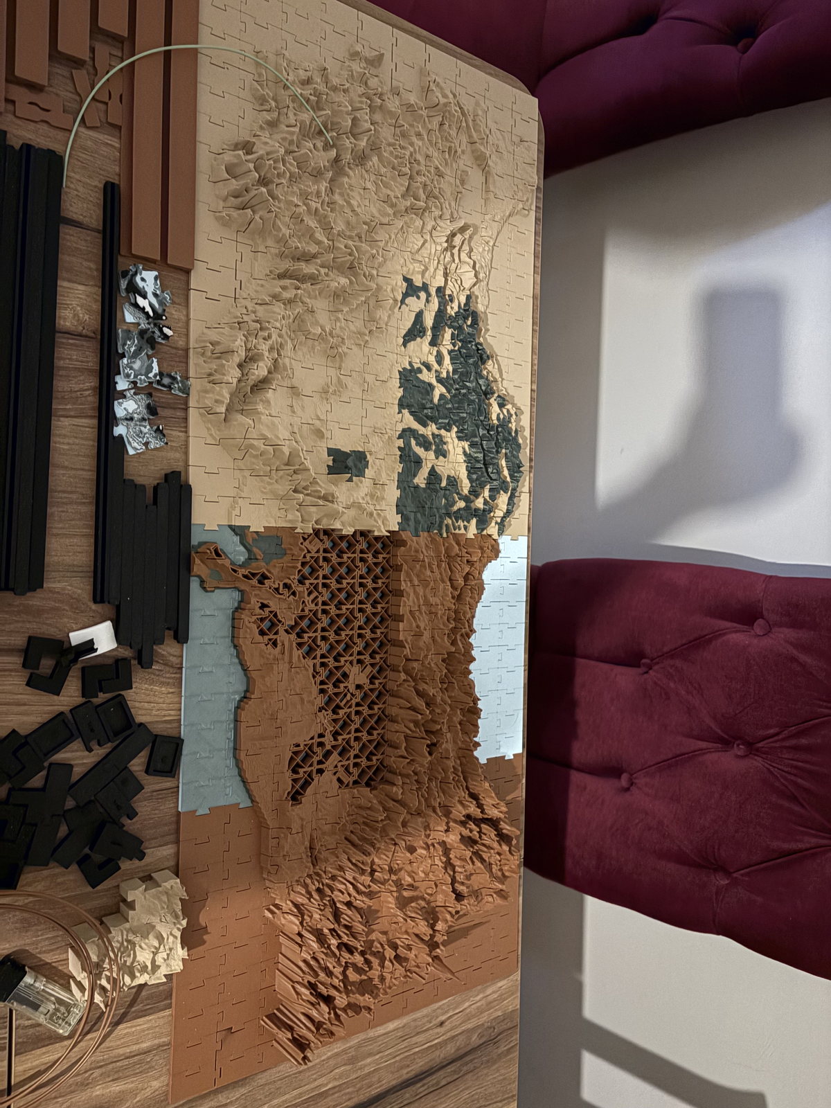
Physical prototypes, honestly recorded.
These photographs document real printed prototypes. Their current Engine2 design, production files, measurements and sale-sample linkage remain unverified.
ABOUT
Built by a planner. Engineered for geographic truth.
URP Studio is being built by Ata Berk Akaydın, with a background in Urban and Regional Planning at Istanbul Technical University. It brings spatial thinking, traceable geographic data and production engineering into one system.
Digital QA, slicing, physical printing, fit and sales readiness are separate evidence gates.
START HERE
Start with a place.
Search a mountain, coast or route. Your selection opens the same place inside the Regional family.